Mount Tamalpais East Peak Hike: Marin County Loop Hikes
The Stunning Verna Dunshee Loop Trail Around the Top of the East Peak
The Mt. Tam East Peak Hike Features Stunning Views of the Entire Bay Area — And Beyond!
The Mt. Tamalpais West Peak loop hike along the Verna Dunshee trail is one of the most spectacular hikes in Marin County if not the world. At an altitude of 2,571 feet, this paved, easy hike with parking offers 360-degree views of the entire Bay Area, from Mt. Diablo to the east to Mt. Saint Helena to the north to the Pacific to the west and San Francisco to the south. Situated above the fog line, hikers may feel they are peering down from an airplane. This hike also offers restrooms, picnic tables, a gift shop and a museum, as well as garbage cans and drinking fountains. Dogs permitted on leash, and hikers are warned to watch for rattlesnakes if they wander off the trail.
Mount Tamalpais East Peak Hike – Getting There
This is one of those hikes where getting there is half the fun. It takes a while to scale Mount Tamalpais – even by car. Here are the directions:
- Enter “Mt. Tamalpais Gravity Barn” into your GPS or click blue button above to launch Google Maps
- Take Stinson Beach exit from Hwy 101
- Take Highway 1 west towards Stinson Beach to Panoramic Highway. Turn Right onto Panoramic Highway.
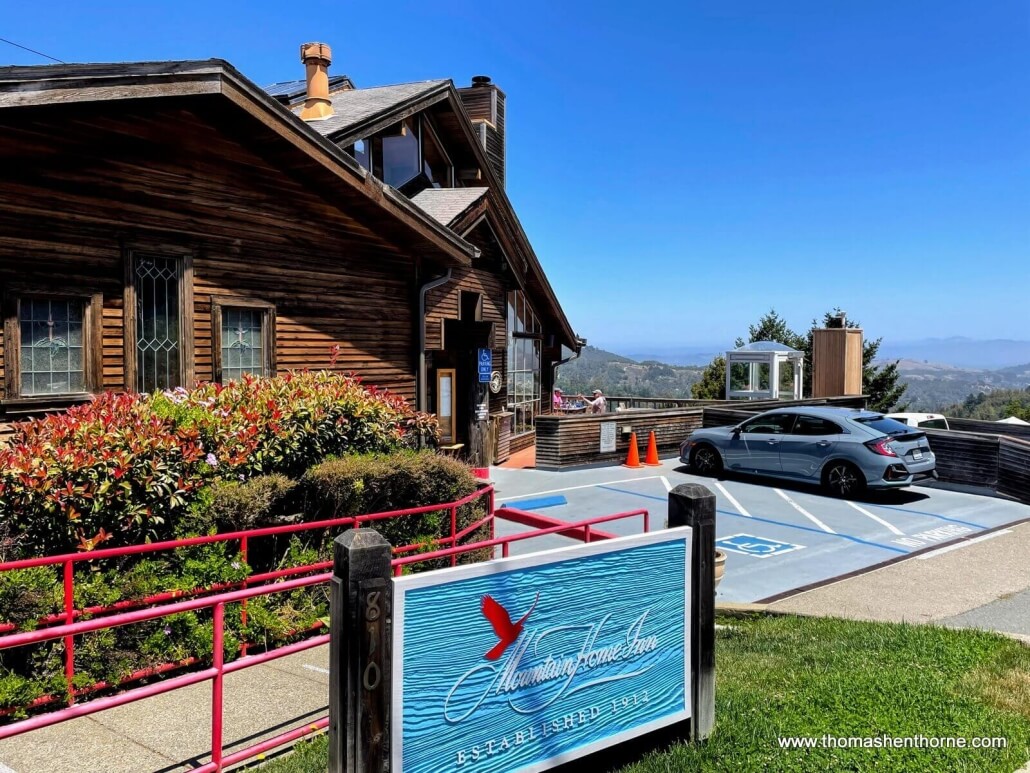
- Take Panoramic Highway up the mountain. You’ll pass Mountain Home Inn on the right. Great for a post-hike meal or drinks!
- At the Pantoll Campground, turn right on Pantoll Road
- Pantoll Road ends at Ridgecrest Blvd. – turn right and follow Ridgecrest to the parking lot at the end
- Those prone to carsickness should plan to stop and get some air
Mount Tamalpais East Peak Hike – Quick Facts
- Open 7 am to sunset
- The best views in the SF Bay Area and maybe all of California- 360 degree views at an altitude of 2,571 feet (784 meters)
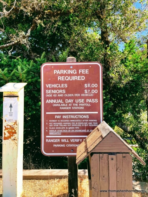
- Large paved parking lot with parking fee: $8.00 CASH ONLY
- Wheelchair accessible, paved path with many benches and view points
- 0.7 mile loop
- Gentle grade suitable for beginner hikers and kids
- Drinking fountains, restrooms, garbage cans, picnic tables and gift shop
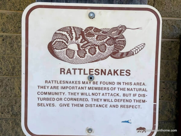
- Poison oak off trail. Watch for rattlesnakes. Stay on trail.
- Dogs on leash only. Bring your own bags. Click here for a list of dog-friendly hiking locations
- Surprisingly poor cell service (Verizon) but there is an intermittent signal
- Do not leave valuables in car
- Rangers on duty. Gravity Car Barn Museum typically open on weekends
- Many other hiking options from this location mean you can turn this into an all-day hike if you would like to
- Click here to download the informative trail guide produced by the Friends of Mt. Tam
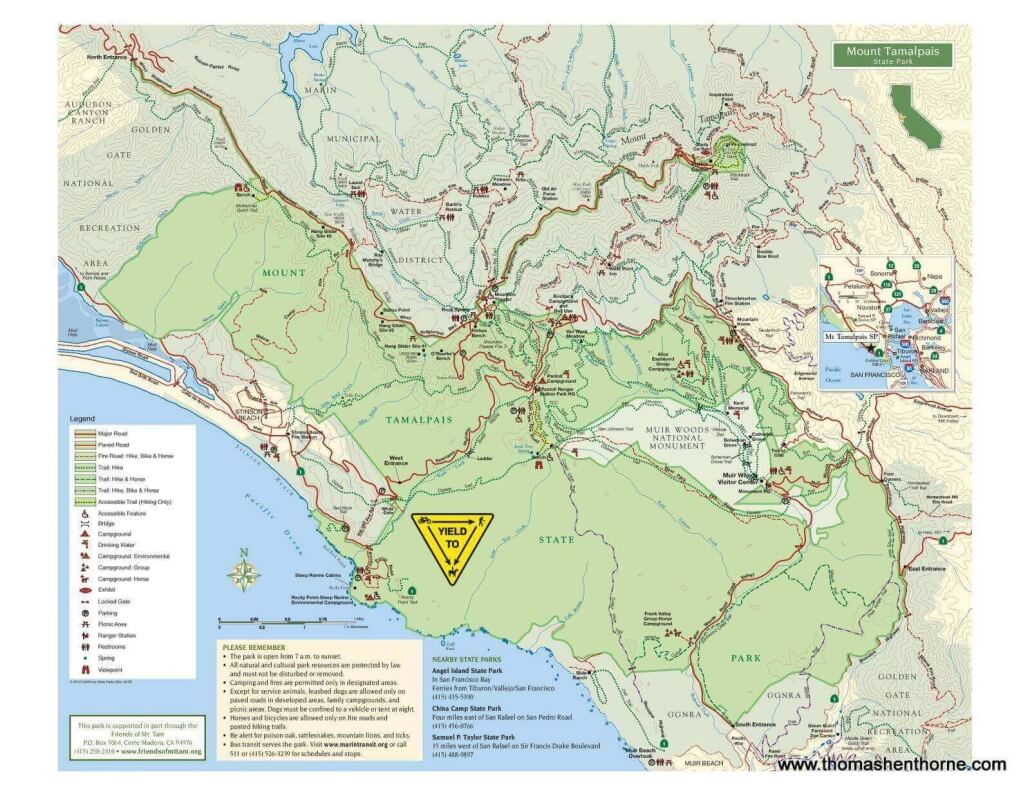
Mount Tamalpais East Peak Hike – Hike Map
Map of this hike:
(Follow yellow highlighted Berna Dunshee trail clockwise around the summit of the Mt. Tam East Peak)
There are a variety of hikes one can take from the Mt. Tamalpais East Peak parking lot, potentially turning this quick loop into a multi-hour hike around Mt. Tamalpais.
Mount Tamalpais East Peak Hike – Hike Overview
- Park in the Mt. Tamalpais East paved parking lot and look for the pay station. Currently $8 to park in this lot. CASH ONLY.
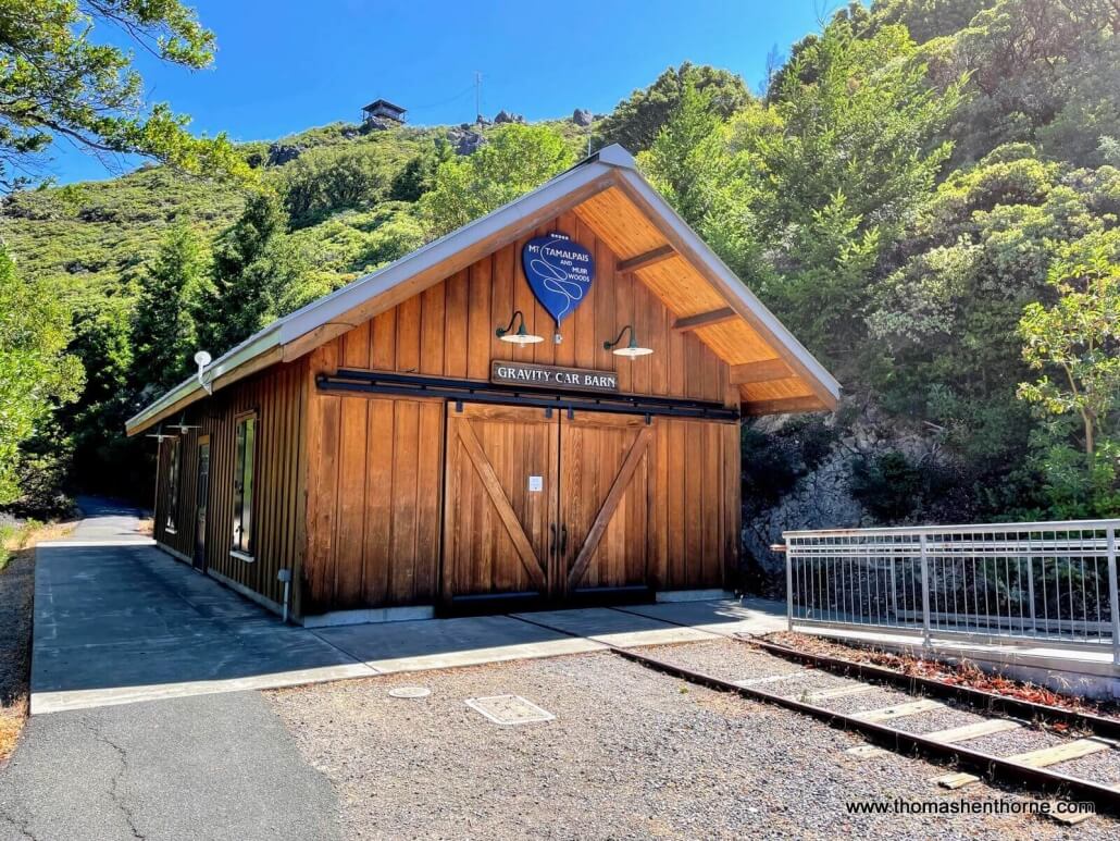
- Walk towards restrooms and bear left towards the Gravity Car Barn Museum (pictured below)
- Ignore the trail marked “East Peak Summit Fire Lookout” and keep left to take the Verna Dunshee Loop Trail
- Hike the paved trail clockwise around the summit and enjoy the spectacular views!
- Trail ends at stairway and returns to restroom area. There is also an ADA ramp just beyond the stairway.
- Enjoy a picnic at one of the picnic tables, or return to the starting point and try the East Peak Summit Fire Lookout trail.
Please scroll down to see the visual walkthrough below.
History: The Story of the Mill Valley and Mt. Tam Scenic Railway
As you begin the hike, you will immediately see the Gravity Car Barn just ahead on the right, along with several plaques describing the long-gone Mill Valley and Mt. Tam Scenic Railway that used to bring visitors up from Mill Valley to enjoy dinner, dancing and an overnight stay. Click here to learn more about this railway and the people who rode it.
“On a warm summer day in August 1896, the first steam locomotive arrived at the East Peak of Mount Tamalpais. It had taken six months of hard hand labor to carve the grade and lay the tracks of the Mill Valley and Mount Tamalpais Scenic Railway. The train ride from Mill Valley to the top of the mountain quickly gained international fame. Built in a time before television, radio, and the automobile, it was a kind of Disneyland of its day.
The Scenic Railway was called “The Crookedest Railroad in the World.” Standard gauge steam trains made 281 turns climbing a grade as steep as seven percent. A unique feat of engineering was at a place called the Double Bowknot, a spot where the track paralleled itself five times to gain elevation in a very small area on the mountain. The Double Bowknot became the trademark of the Scenic Railway.
The Crookedest Railroad drew famous people to Mount Tamalpais including naturalist John Muir and Sir Arthur Conan Doyle, author of the Sherlock Holmes mysteries. Inventor Thomas Edison’s film crew came to Mount Tamalpais in 1898 to shoot the first motion pictures in Marin County. As its popularity grew, so did the East Peak’s Tavern of Tamalpais, a place to relax, enjoy the view, dance, and spend the night. In 1902 the first Gravity Cars rolled down Mount Tamalpais. Many visitors took a brisk morning ride just as the sun rose above the East Bay hills. The Gravity Car rides were scheduled into early evening when the shadows lengthened. The ride down the mountain was remembered for a lifetime.
By the late 1920s fewer people took the train up the mountain. The last tourist train ran up Mount Tamalpais on October 31, 1929. The following September the tracks were torn up, and by the end of 1930 the Scenic Railway was history.”
Credit: California State Parks
Mount Tamalpais East Peak Hike – Photo Walkthrough
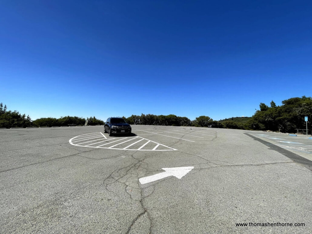
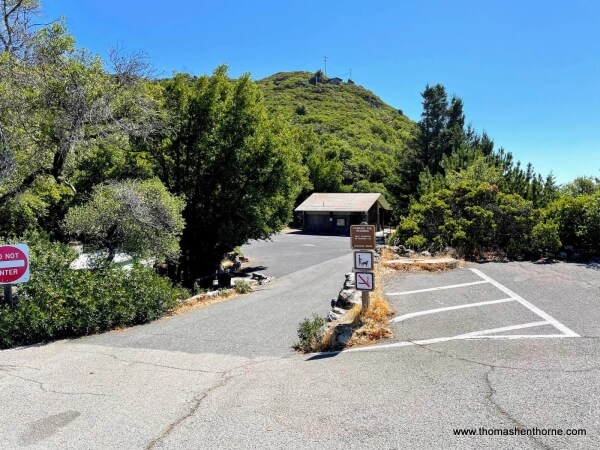
The parking lot was quite empty on a Wednesday morning… weekends are obviously much busier.
Park in the spacious parking lot and pay for parking before heading down towards restrooms and trailhead.
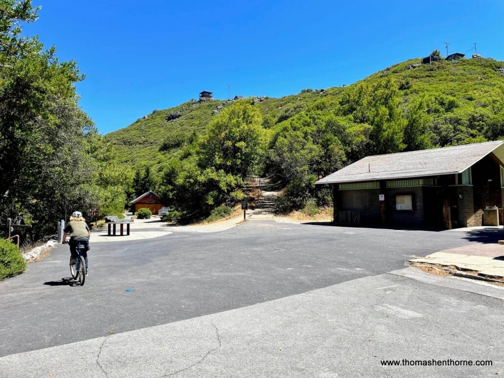
As your approach the restrooms you will see a gift shop on your left down a few stairs and the Gravity Car Barn Museum in the distance to your left. Walk towards the museum.
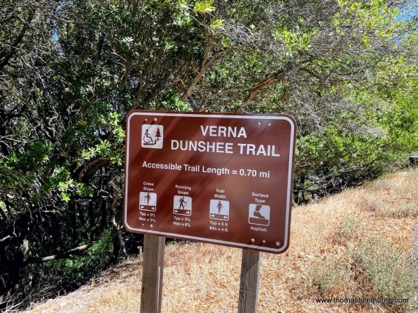
This is the trailhead sign. Stay on the trail to minimize contact with rattlesnakes.
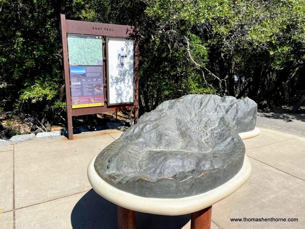
You may want to look at the “touch model” of Mt. Tamalpais on your left. The touch model is also a functioning water model of the mountain. If you pour water on it, you can see where the streams flow!
As you approach the museum, you will see the trail narrow and continue to the left of the building. Proceed straight ahead.
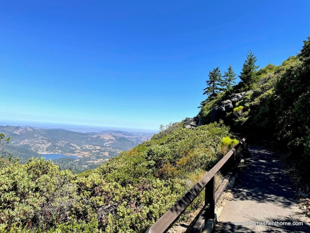
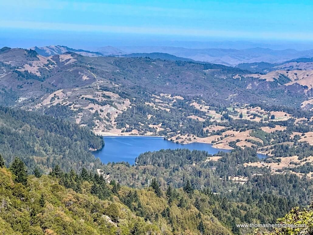
The gorgeous views begin immediately, with Bon Tempe Reservoir to your left. You can also see Alpine Lake. The Marin Municipal Water District operates seven reservoirs to provide water to Marin County’s residents.
View to west of Bon Tempe Reservoir and western Marin County.
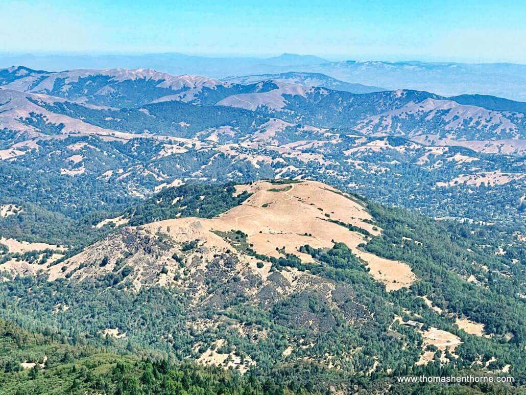
View of Bald Hill aka “Baldy” which rises from the Phoenix Lake Hike
As the trail loops around to the north you can see Greenbrae and the Marin Islands in the distance.
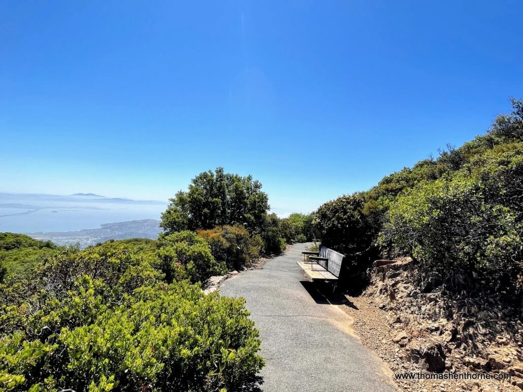
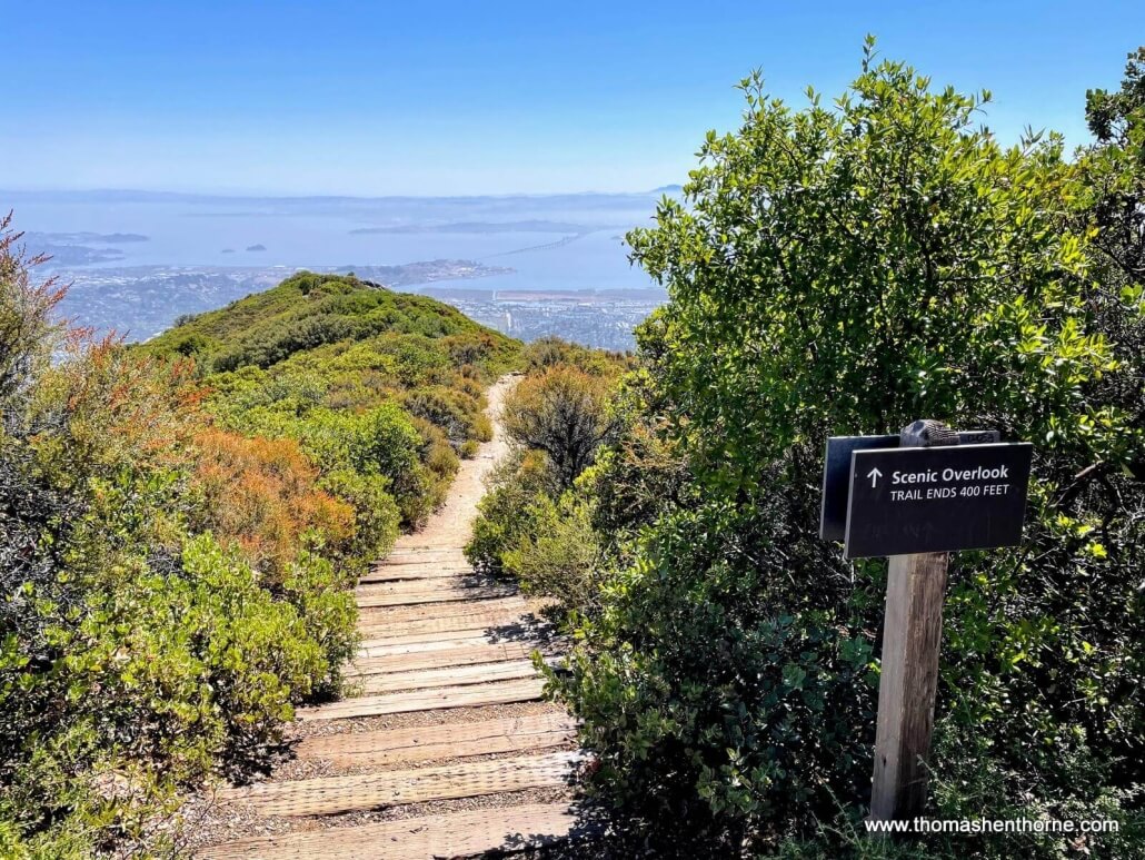
Benches abound on this trail. We are approaching the view of the Richmond-San Rafael Bridge.
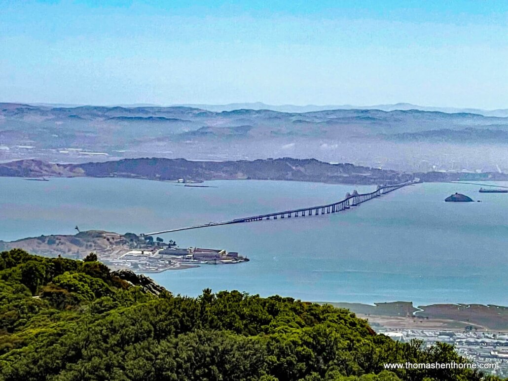
As you continue to wind your way around, you’ll see a gorgeous view of the East Bay and the Richmond-San Rafael Bridge. San Quentin State Prison is in the foreground.
This is a short scenic overlook spur trail but I would recommend you skip it. The views aren’t any better than what you will see ahead on the trail, and the path is pretty rocky and narrow.
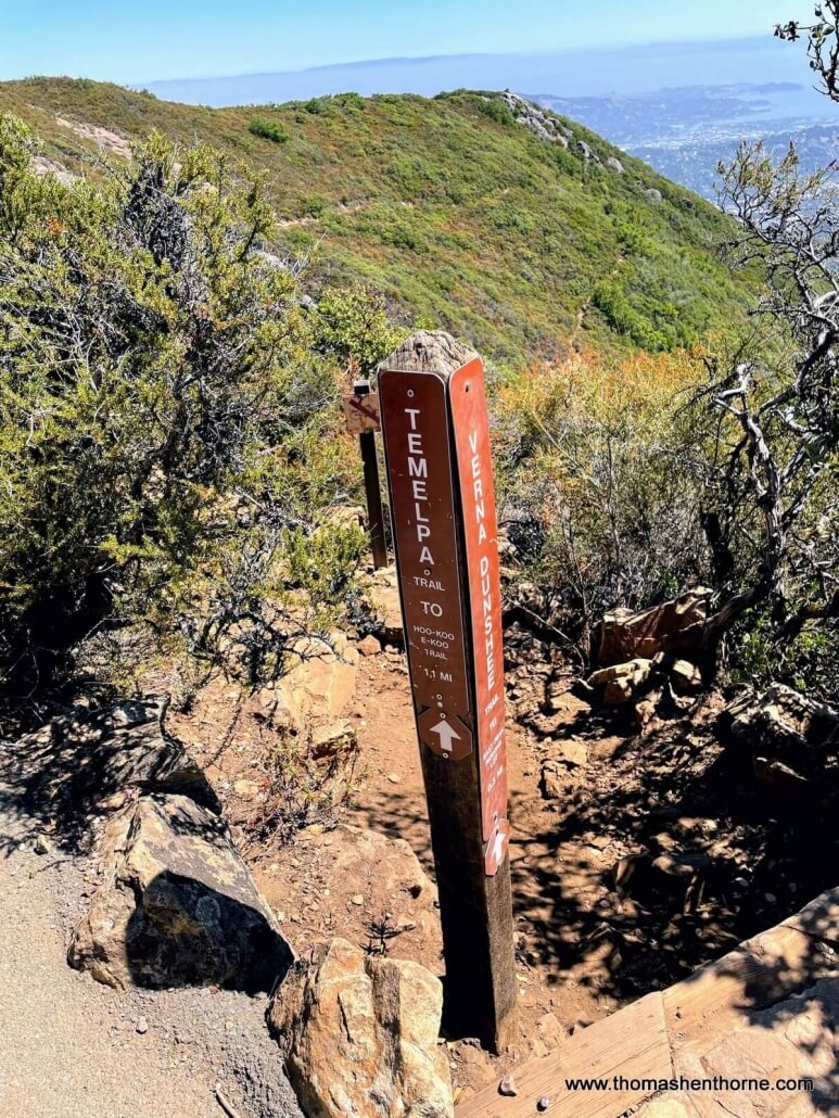
As you continue clockwise south on the trail you will see the junction with the Temelpa Trail which connects to the Hoo Koo E Koo Trail, which connects to the hike I featured in my Crown Road Hike article. It seems like all the trails in Marin County somehow lead to Mount Tamalpais!
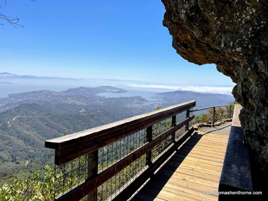
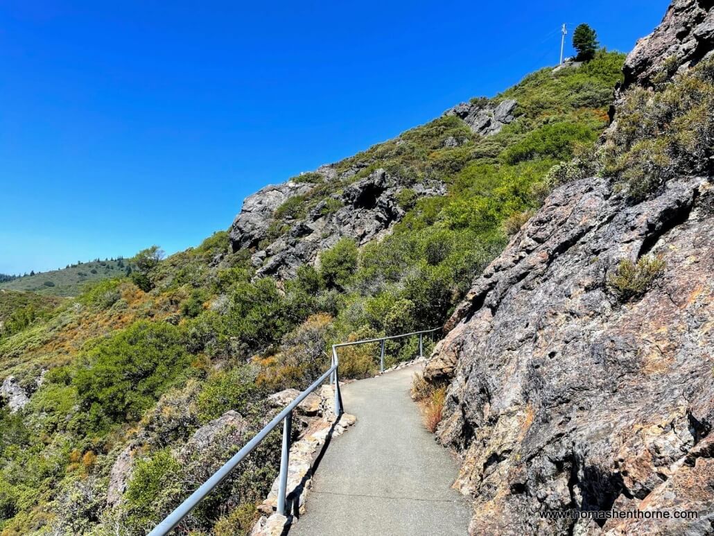
This side of the mountain features stunning rock formations as well as views of Mill Valley and San Francisco.
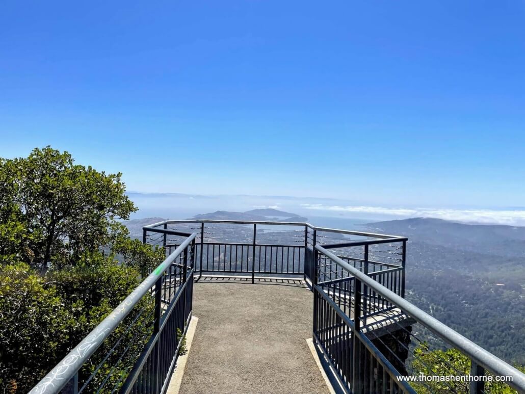
This vista point is a marvel of construction and provides one of the most dramatic views of the hike.
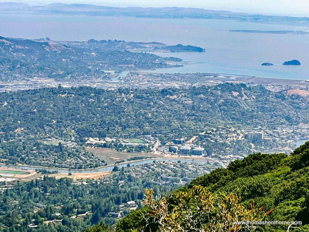
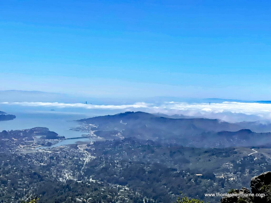
Looking down at Mill Valley, Richardson Bay and the city of San Francisco in the distance. Note the top of Salesforce Tower peeking through the fog. I must return on a clear winter’s day to see this view!
The trail continues southward towards both a ramp and a stairway that take you back to where you started.
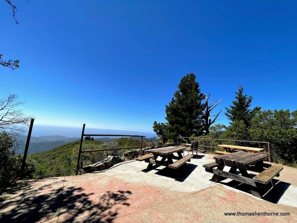
Picnic tables at the top of the stairs / ramp are a great spot for a post-hike meal. There are garbage and recycling receptacles here as well.
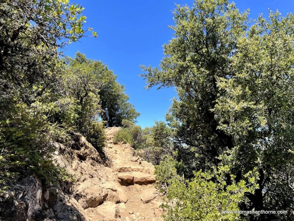
As you return to the restroom area, you may be tempted to hike up to the fire lookout at the top. Note that this trail is much more steep and rocky. It provides a good workout and beautiful vistas but I prefer the views from the Verna Dunshee trail.
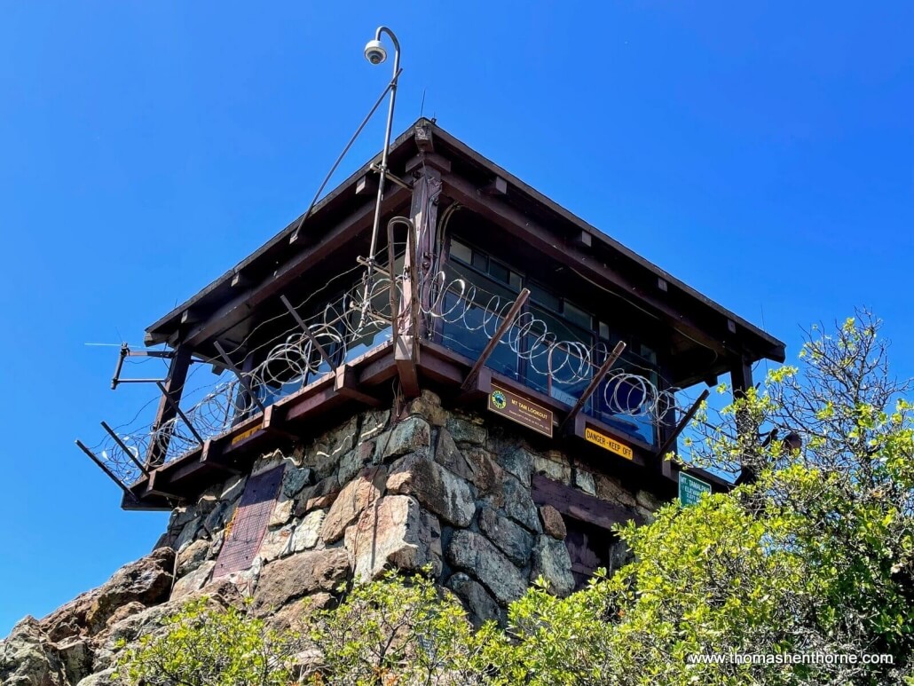
If you do hike up, you will see the Mt. Tam Ranger Lookout station at the very top. During fire season it is staffed by volunteers who constantly scan for fire. Watch this beautiful video of a day in the life of one of these volunteers.
In case you did not pack a meal, the historic Mountain Home Inn on the way back down Panoramic Highway is a great place to stop!
How to Help Maintain and Preserve Mt. Tamalpais
After seeing the beauty and history on display, you may want to support one of the organizations that maintains and preserves Mt. Tam:
You may also want to watch the award-winning documentary, “The Invisible Peak” about the military base that was built and subsequently abandoned on the West Peak of Mt. Tamalpais.
About the Author

I hope you have enjoyed reading my article about the stunning hike at the top of the Mt. Tamalpais East Peak. If this is your first visit to my Marin Real Estate and Lifestyle Blog, please have a look at my other articles. They all feature original articles about the things that make Marin County such a great place to live — restaurants, hikes, and even profiles of those who live here.
Also in my blog is my monthly Marin real estate market update. As a top real estate agent here in Marin County, I truly love what I do and would love to help you attain your own real estate goals. Please call or text me at 415.847.5584 and I’ll be in touch right away. Otherwise, I will see you on the trails!





Trackbacks & Pingbacks
[…] the only place to go if you want to go to the mountain. Nonetheless, there is a parking fee at the East Peak trailhead, and the mountain is closed to the public after […]
Leave a Comment
What do you think?Please leave your comment below!