Phoenix Lake – One of My Favorite Marin Hikes
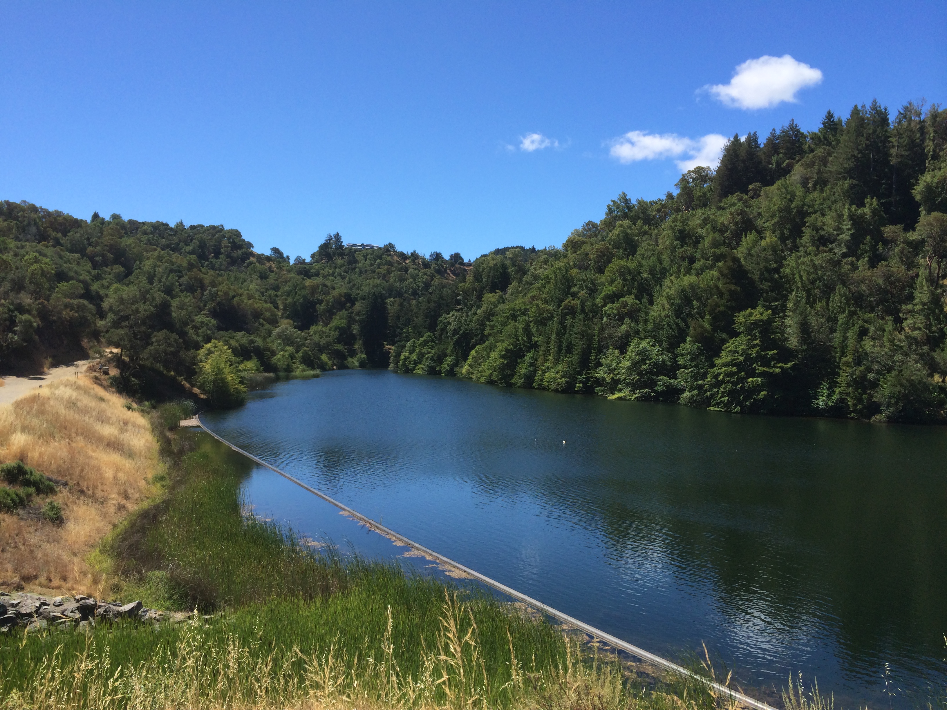
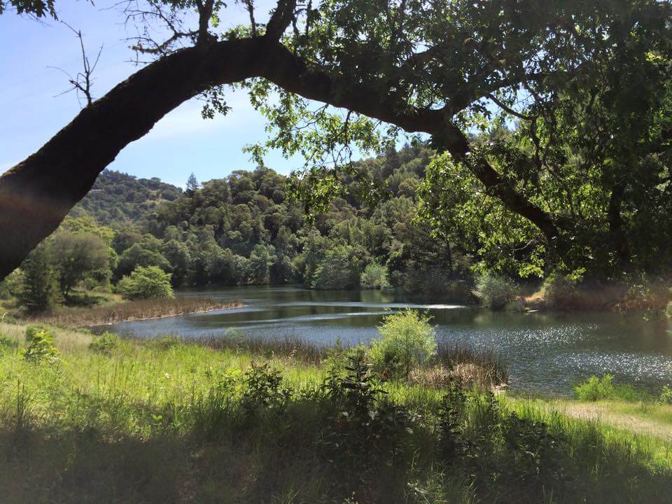
 Phoenix Lake is a hidden gem in the middle of Marin County. One of the many things that influenced my decision to move from San Francisco to Marin years ago is all the hiking available here. When I lived in Noe Valley, I often found myself driving north to Marin to hike Muir Woods or visit the Point Reyes National Seashore. At that time I didn’t know about Phoenix Lake, one of the reservoirs that the Marin Municipal Water District maintains for the citizens of Marin. Water from this specific lake and Soulajule Reservoir is only used during drought conditions due to the high cost of pumping water.
Phoenix Lake offers a variety of hiking options – from trails that are mostly flat to steep ascents up hills that provide views of Marin and San Francisco in the distance. The most common hike is a 2.7 mile loop that around the lake, combining the Bill Williams Trail, Gertrude Orr Trail, and Phoenix Lake Trail. However as this trail progresses, it narrows and you may need to turn around due to the abundance of Poison Oak. Proceed cautiously and keep dogs on leash. I usually bring poison oak wipes and Tecnu (available at most drugstores) in my backpack, along with water and a printed map if I am going on an unfamiliar trail. Cell phone coverage is spotty once you venture from the flat loop around the lake.
As you loop around the lake, you will see a historic log cabin. It was built circa 1894 for the Hyppolite Ranch by James and Walter Landsborough, nephews of Mrs. Janet Porteous. It used to be available for rent for group functions but I don’t think that’s the case these days.

My preferred hike is a bit more strenuous — but the reward is a stunning vista of Marin and the San Francisco skyline in the distance. After you park in the lot (see details below), you walk up the gravel fire road to the lake. Keep right and walk around the lake about 10 mins. On the right you will see a fire trail which then splits — take keep going right and begin the ascent up to Bald Hill. It takes about 30 minutes to get up to the top but the view is worth the hike.

The well-maintained but steep trail up to “Mt. Baldy” as the locals call it.
Here’s the insider parking tip that I don’t see mentioned in any of the online articles about Phoenix Lake. The parking lot, which is at the end of Lagunitas Road (see Google map above), fills up very early on weekends and even weekdays. Because it is often full, cars queue just past the first small parking lot, on the left. Newcomers who don’t know the drill often pass these cars and go into the larger lot, looking for parking. I have seen arguments break out over this, with more experienced visitors telling the newcomers to “get in line and turn your engine off.” My advice is look for people sitting in their cars over to the left as you pull in and pull up behind them, and turn your car motor off. Or, better yet, do what I do, and extend the hike by parking in the spaces across from the Ross Post Office. As of this writing they are 3-hour spaces and are usually available. There are also parking spaces down Lagunitas on the left in front of the tennis courts, but those also fill up on weekends. One of the benefits of walking (instead of driving) down Lagunitas is you get to look at some of the beautiful homes — which as you know is one of this Marin Realtor’s favorite past-times!
You may also want to read more about this hike at BAhiker.com. We are very lucky to have Phoenix Lake here in Marin — I hope you enjoy it as much as I do! As always, I am happy to help you with your real estate questions and needs. Please call / text me at 415-847-5584 or use the below contact form.
Please Subscribe to My Blog to Receive Notification Of New Articles:

Flowers at Phoenix Lake in Marin County


