Ring Mountain Hike: Marin County Trails
The Ring Mountain Hike in Corte Madera and Tiburon has been on my list for quite some time now and I finally got around to exploring this very popular Marin County hike. This moderately strenuous hike is well-located in central / southern Marin and provides a panoramic view of the entire SF Bay Area. In the spring, wildflowers abound.
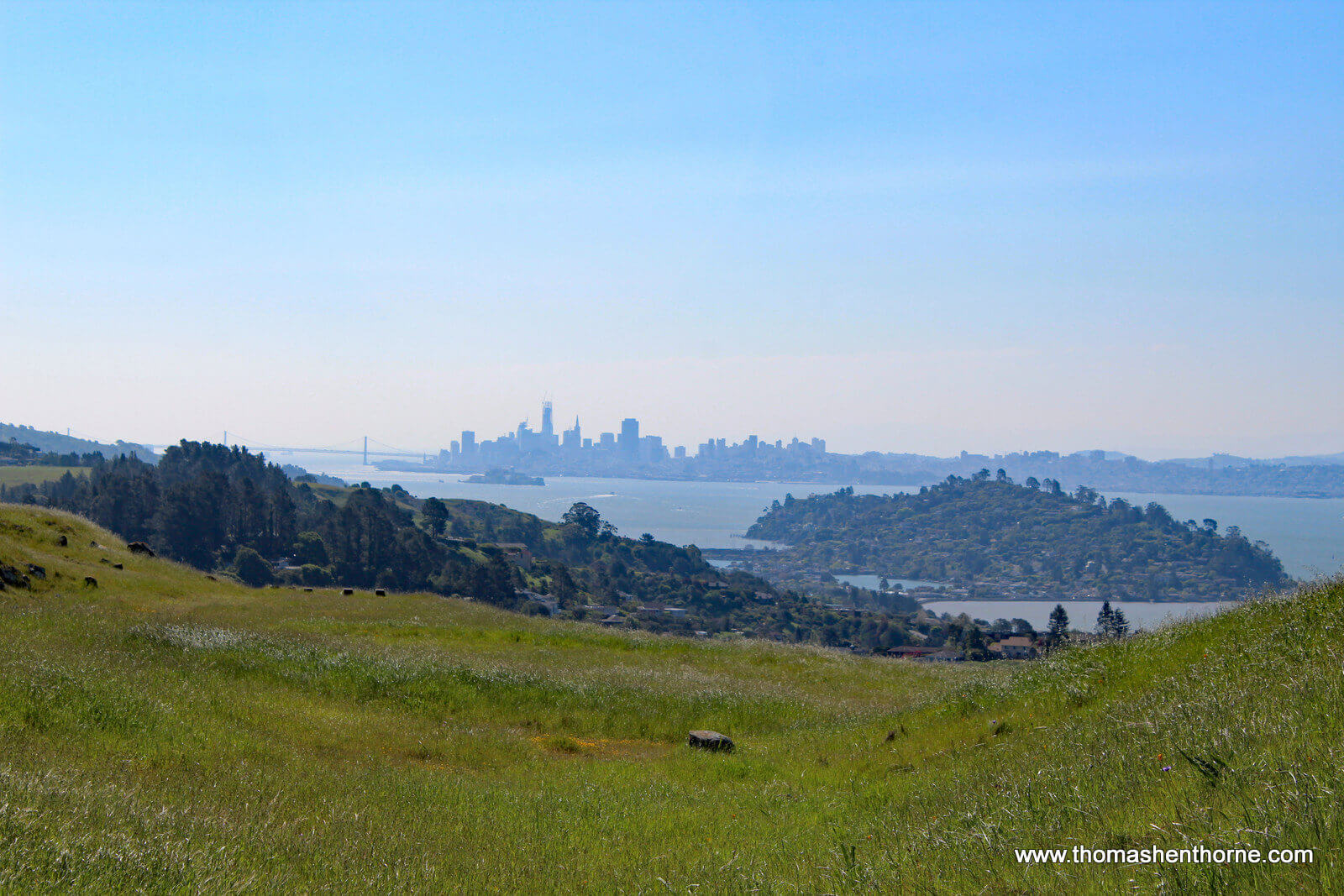
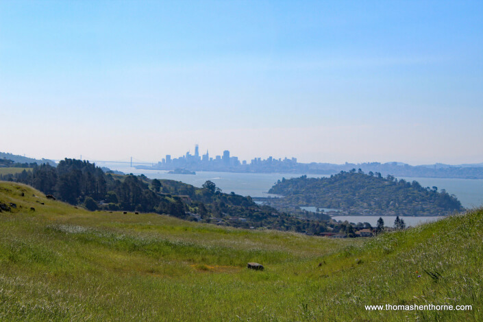
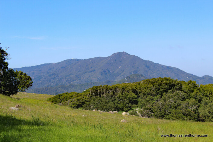
I hiked the “loop trail” from Paradise Drive in Corte Madera. Below are photos and maps of the trail in case you want to try it. The Ring Mountain hike is definitely one of the most beautiful in the bay area with views of Mt. Tamalpais, the East Bay, the Richmond-San Rafael Bridge, Tiburon, and even the San Francisco city skyline. It is a great hike to show out-of-town visitors the beauty of our area.
RING MOUNTAIN HIKE — GETTING THERE
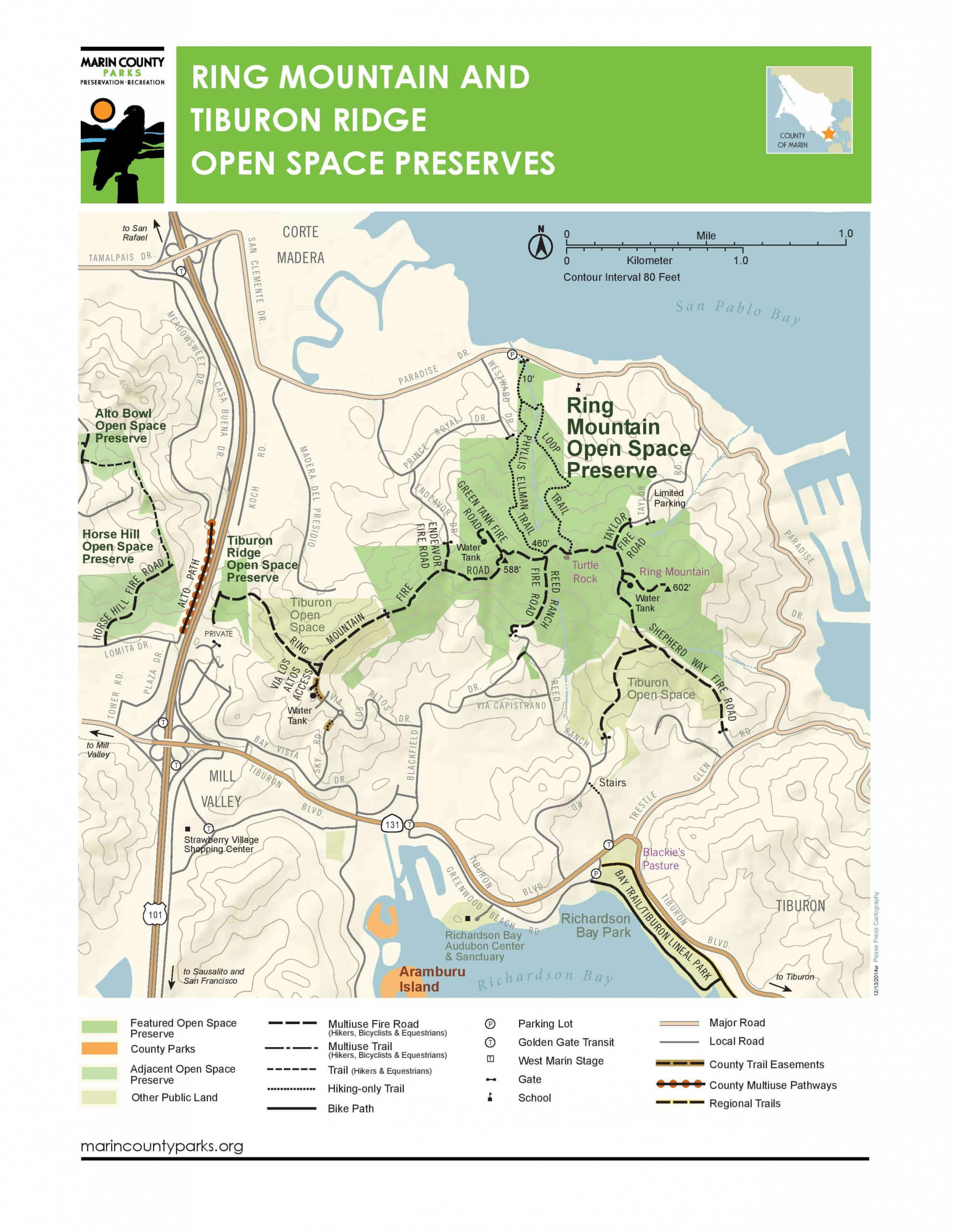
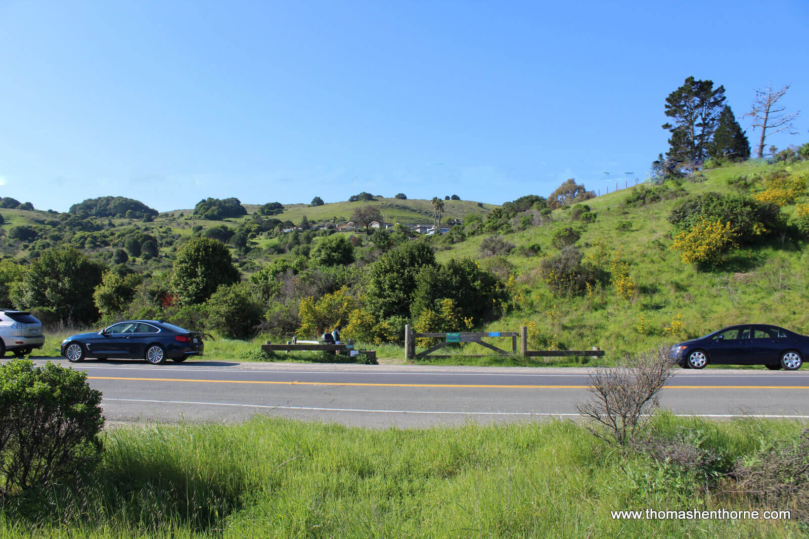
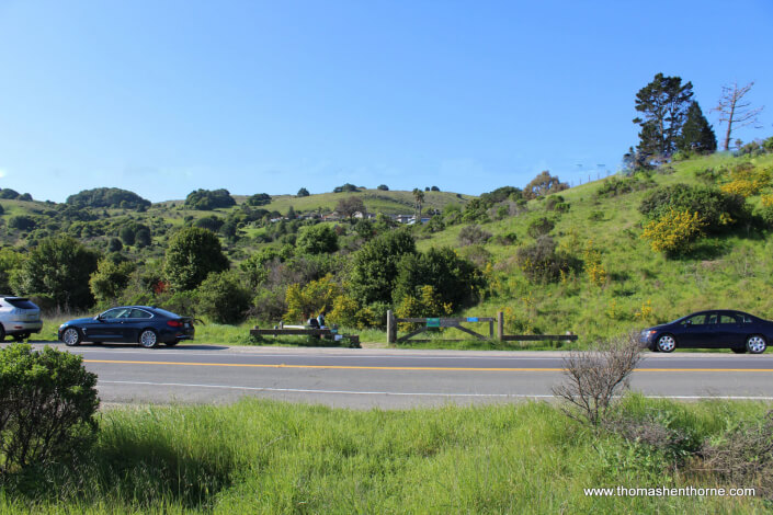
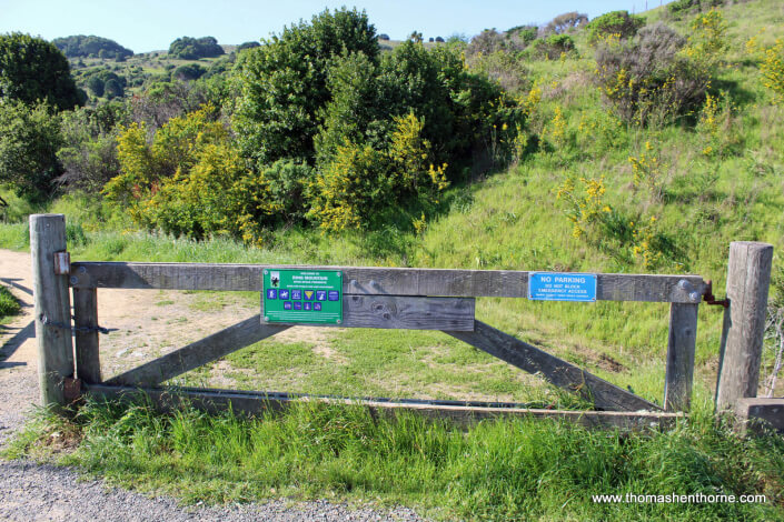
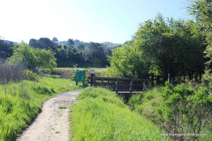
The trails of Ring Mountain can be accessed from a variety of locations in Tiburon or Corte Madera, as shown on the map below or on the Marin County Parks website. This article assumes parking just south of the intersection of Westward Drive and Paradise Drive, along Paradise. This is the preferred parking location for access to this open space area and has the least impact on neighbors. There is ample parking along Paradise and the side benefit is that you can stop at the Nugget Market (formerly the Paradise Market) to pick up sandwiches for your hike and make a picnic out of it. For a quicker hike, you can drive to the end of Westward Drive and access a trailhead (pictured below) there.
It is also possible to access the area from the end of Reed Ranch Road in Tiburon or from the end of Taylor Road also in Tiburon.
Warning: Be sure to lock your vehicle and take valuables with you.
RING MOUNTAIN HIKE QUICK FACTS
- Plentiful street parking and multiple ways to access trails
- Loop trail available from Corte Madera
- Dogs allowed on leash / Bicycles permitted @ 15 mph
- Excellent cell service
- No restrooms or drinking fountains – bring water
- Multiple hiking options (see map below) – including start points in Corte Madera and Tiburon
- Lots of poison oak on this trail, some which protrudes into the trail itself. Extreme caution.
RING MOUNTAIN HIKE MAP
You will want to print this map out to take with you on your hike, or bookmark it to pull it up on your cell phone. (Cell phone service is excellent on the entire hike.) The trail is exceptionally well-marked. Click on the numbers on the map below to see the route described in this article.
Here is a map of the area:
Parking & Trailhead
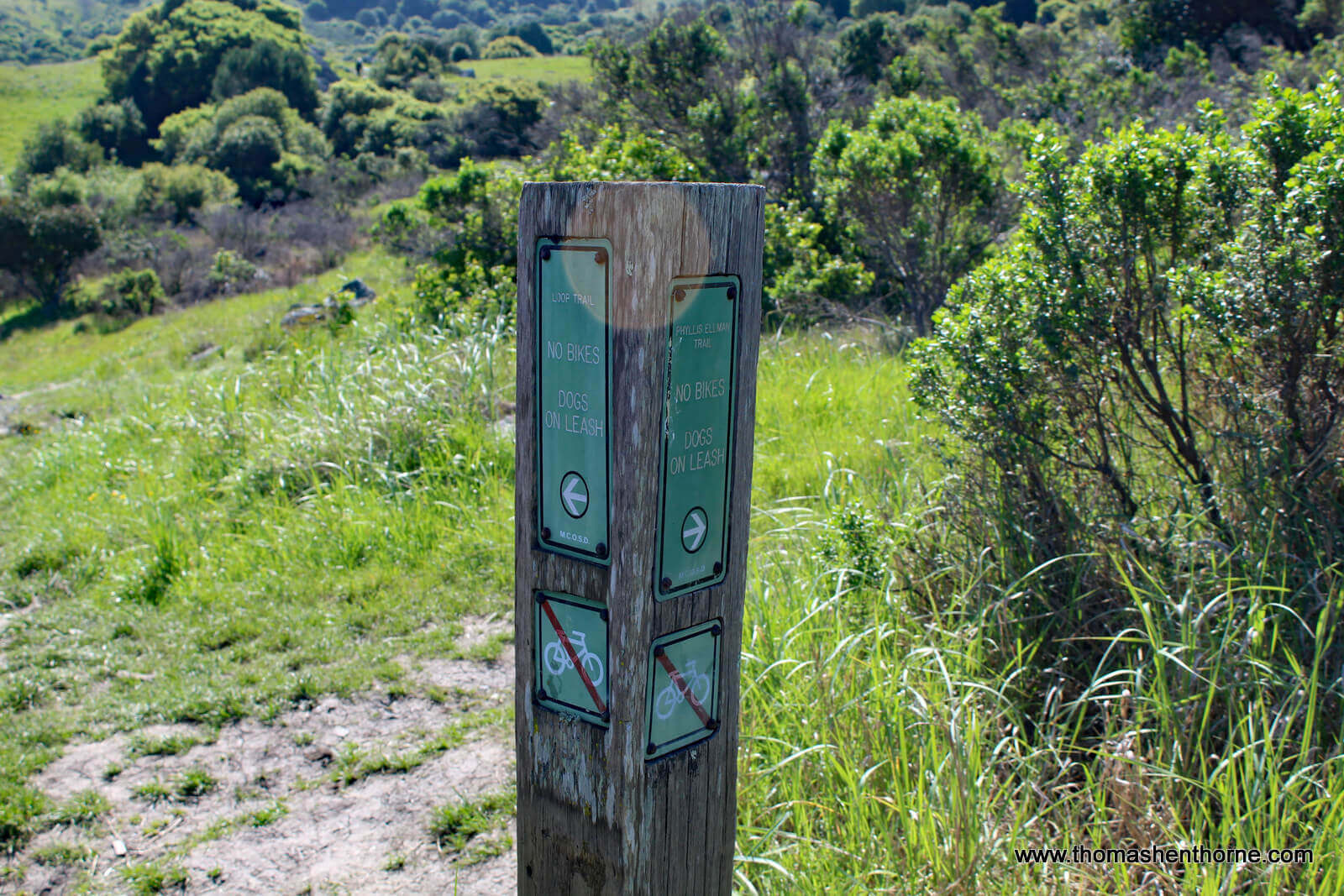
Go Left Here for Loop Trail
“Top” of the hike on the fire road
Great View of SF Here!
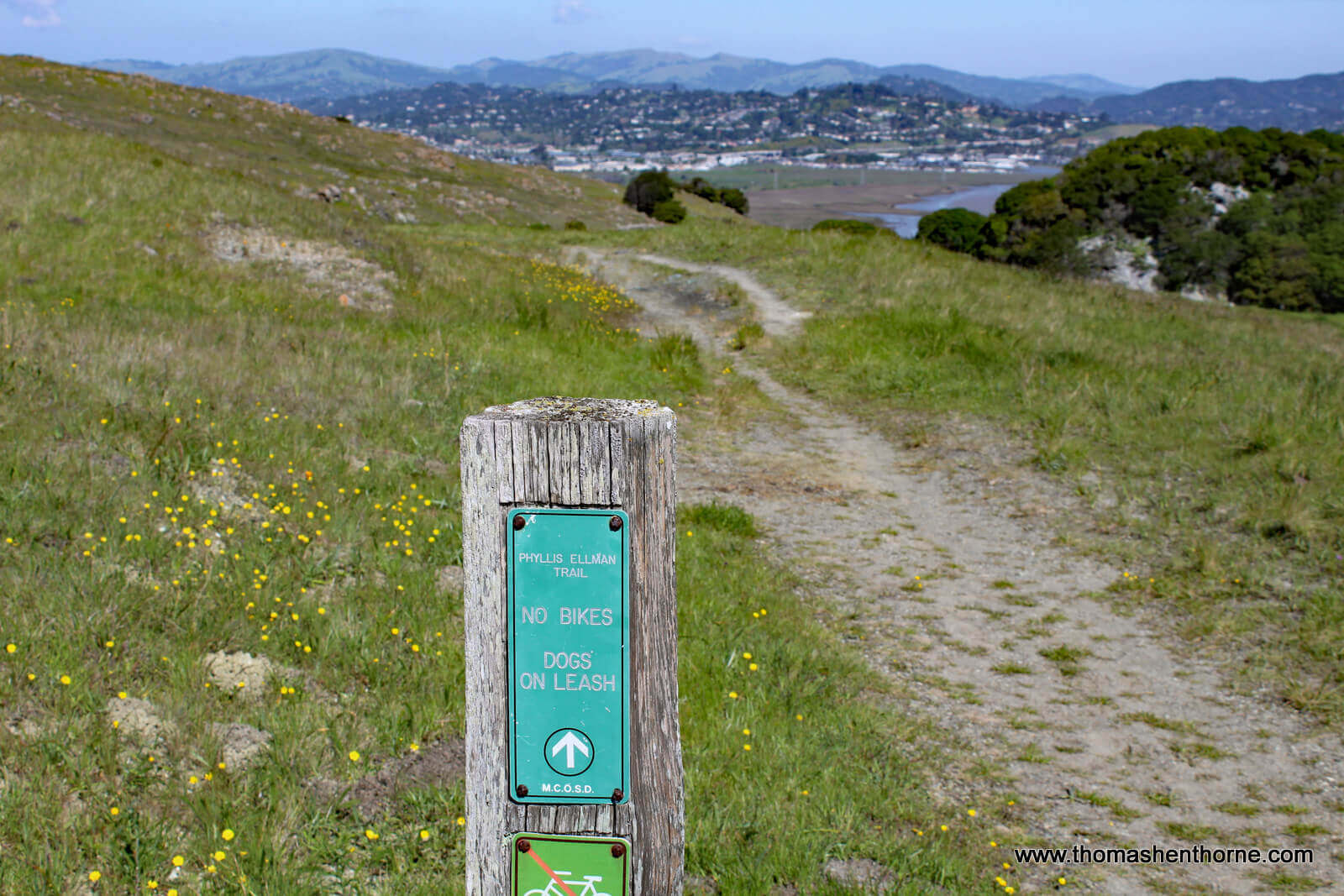
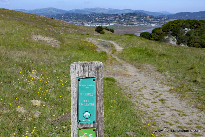
Begin Hike Down Here – Phyllis Ellman Trail Marker
RING MOUNTAIN HISTORY
Ring Mountain was named for Marin Supervisor George E. Ring, who served from 1895 to 1903. The mountain is actually more of a hill at just 602 feet at its highest point, but you will feel all 602 feet as you hike up its moderately steep trails.

Photo of Phyllis Ellman 1923-2009
Back in the 1970s, after cattle grazing on the Reed Ranch ended in 1965, the Ring Mountain area was slated for a housing development of up to 2,100 homes and apartments. Locals banded together, led by Phyillis Ellman, to protect the area from development and fortunately for future generations they were successful.
Through citizen efforts, 307 acres of the original 353 acre site were preserved from development and entrusted to the Nature Conservancy. It is now managed by the Marin County Parks & Open Space district.
Further Reading:
“Marin Conservation League Walk Into History”
“Ring Mountain Rocks!” (more information on the geological history)
“Marin’s Rich Geology Holds Ancient Stories” (SF Chronicle article)
LOOP HIKE ON RING MOUNTAIN
Below is the trailhead for the Ring Mountain trail (technically the Phyllis Ellman trail) on Paradise Drive in Corte Madera:
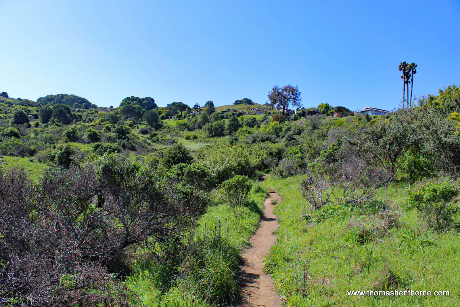
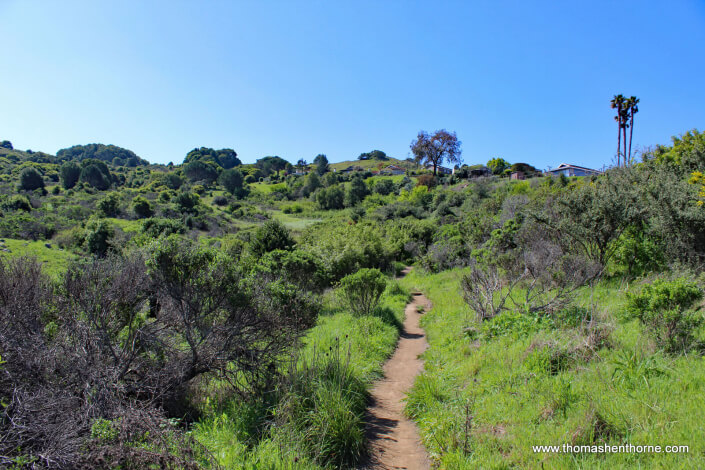
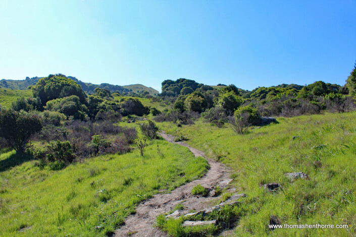
The trail begins with a gentle ascent which quickly becomes more steep. The majority of the trail is in the full sun so be sure to wear sunscreen and a hat. The split for the loop trail is well marked. Ignore the unsigned trails that go off to the left and keep hiking until you see this marker, then go left here on the appropriately-named “Loop Trail” which climbs towards the Ring Mountain Fire Road on the top:
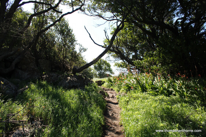
The trail continues to climb through meadows and some clusters of California Live Oaks and California Bay Laurel trees. The first twenty minutes of the trail feature large clusters of poison oak, some of which protrudes into the trail.
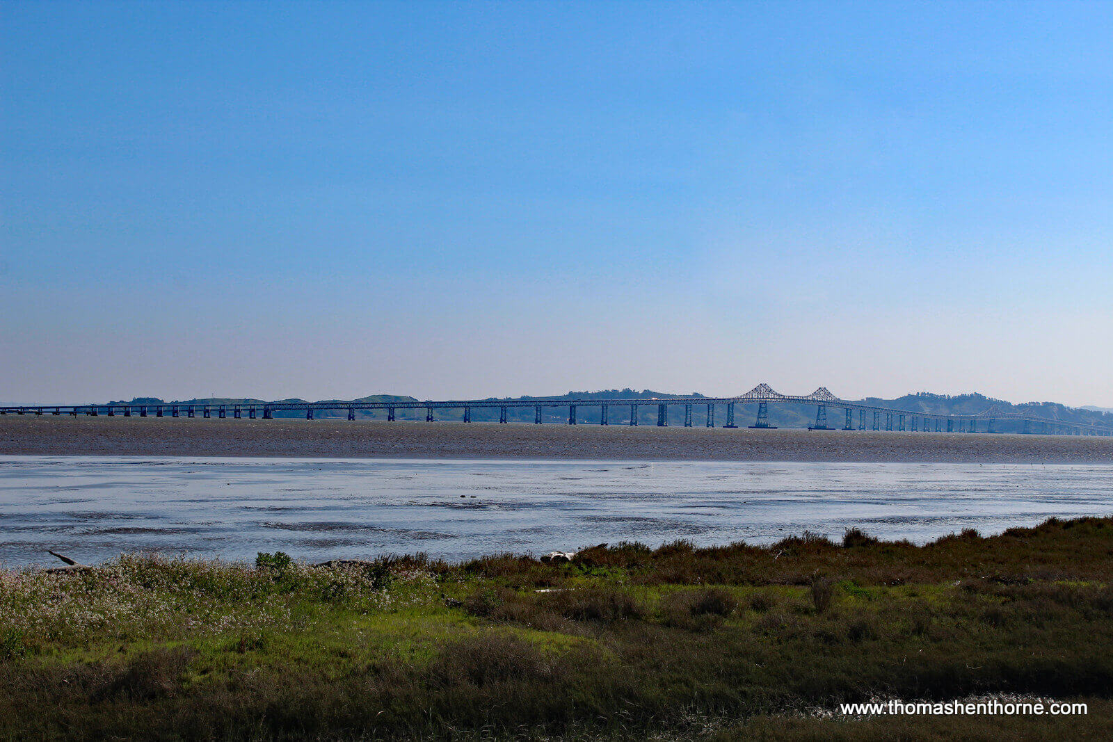
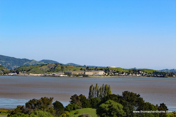
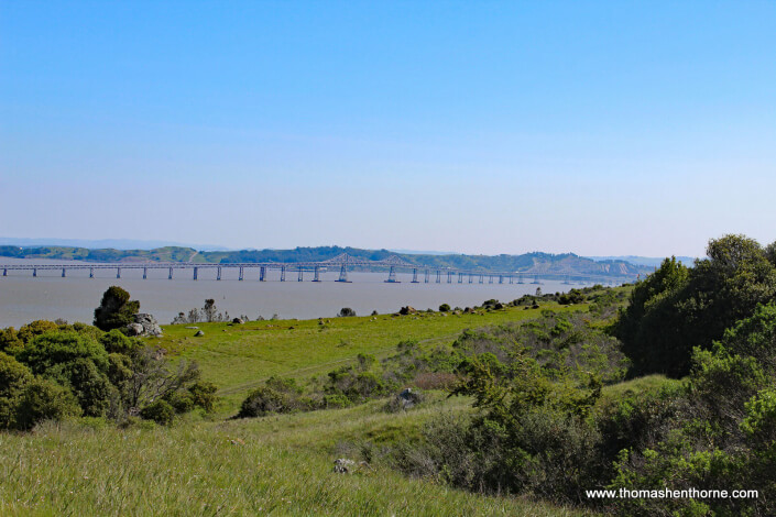
As you ascend Ring Mountain, take a minute to peer behind you at the beautiful views of Corte Madera, Larkspur, and the Richmond-San Rafael bridge.
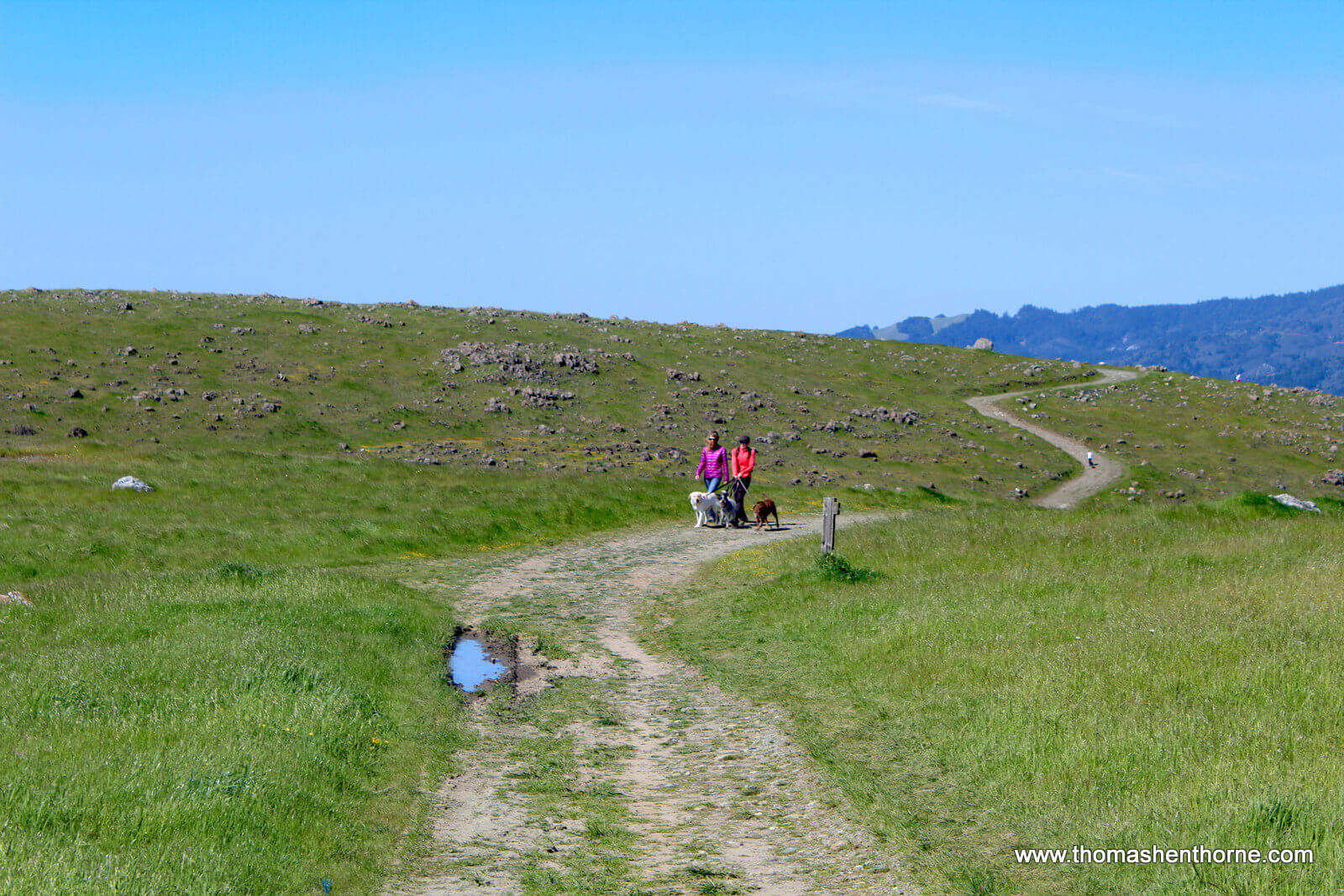
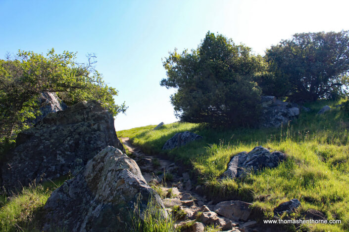
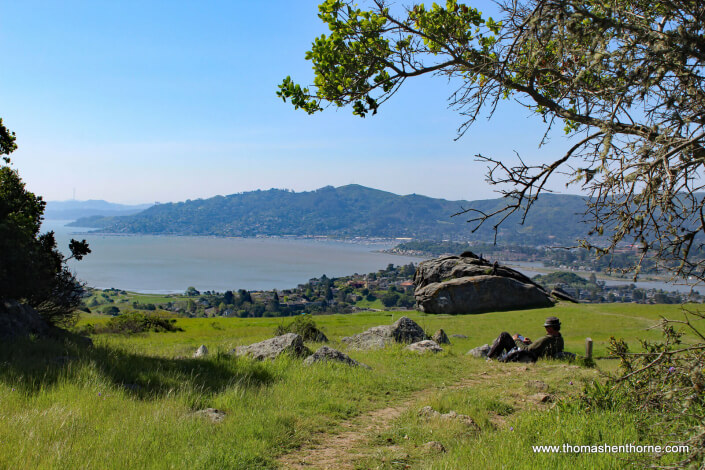
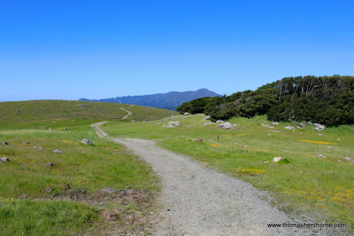
You will know when you have reached the top of the trail — it intersects the Ring Mountain Fire Road and you can walk to the left to see a spectacular view of downtown San Francisco, or walk to the right to see views of Marin and ultimately walk down the Phillis Ellman trail. Enjoy the spectacular scenery!
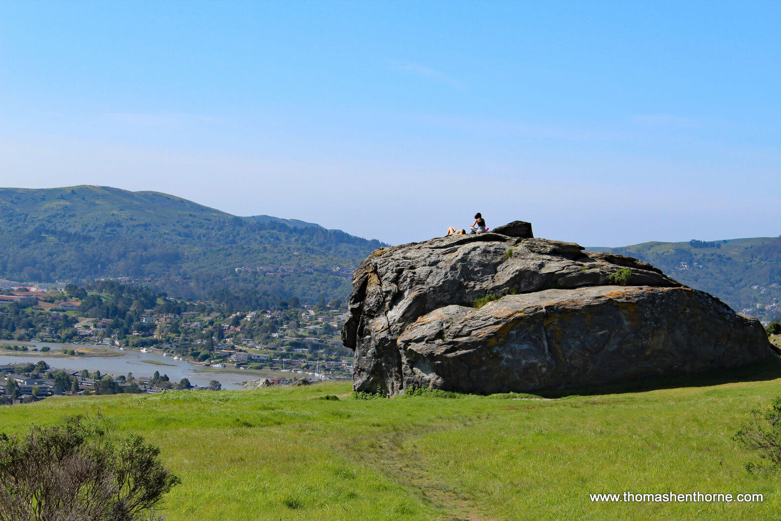
You may want to take a moment to climb Turtle Rock as these women did:
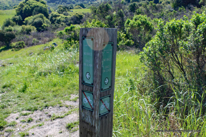
All great hikes must come to an end. Once you are finished exploring the beauty of the top of the mountain, this trail marker marks the Phyllis Ellman trail back down to the parking area.
RING MOUNTAIN LOOP TRAIL WALKTHROUGH
(click any photo to enlarge and begin slideshow)
I hope you have enjoyed reading my article about the Ring Mountain trail. If this is your first visit to my blog, please have a look at my other articles. They all feature original articles about the things that make Marin County such a great place to live. You will also find my monthly real estate news and market update in my blog. Should you have any real estate questions or needs, please call or text me at 415.847.5584 and I’ll be in touch right away.
















Love the Quick Facts and Maps. The photos are beautiful. Definitely looking forward to getting out on this one over the summer.
Judy, yes it should be gorgeous in the summer. I think this is one of those trails that is probably great year-round.
Absolutely agree. This trail definitely maintains beauty and appeal throughout the year. Looking forward to more features like this.
Excellent description of the terrain as well as logistics and photos. Makes it easy to navigate a Ring Mountain adventure.
Thank you for your kind comment, Susan, glad you enjoyed the article!
Thomas….great article and pictures….we definitely want to try this hike…it looks beautiful!
Thanks, Pamela, it really is spectacular. And welcome to the GGSIR family! Thanks again for your comment. All the best to you, Thomas
How long is the loop (distance in miles?). Approximately how long does the hike take if you go at a moderate/average pace and are in good shape? Thanks for the info!
Hi Mary, it’s about a mile up and a mile back, and then once you’re on top of the ridge you can walk a while up there if you wish to see the views. The entire hike for us was about 2 hours from start to finish with about 15 mins to stop and enjoy the view. Hope this helps and hope you enjoy hiking Ring Mountain!
thank you for all your efforts.
Thank you for the thank you! Glad you enjoyed the article! — Thomas